

Carta Marina - 1516
Step 0 of 0
1
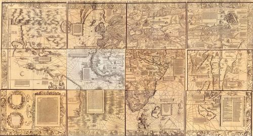
E511 - 1516 Carta Marina Reddit
2
E511 - 1516 Carta Marina LOC Plate 01
3
E511 - 1516 Carta Marina LOC Plate 02
4
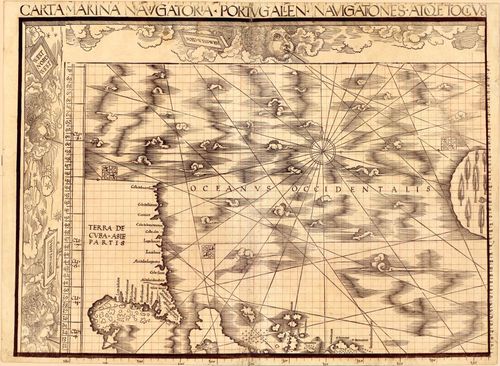
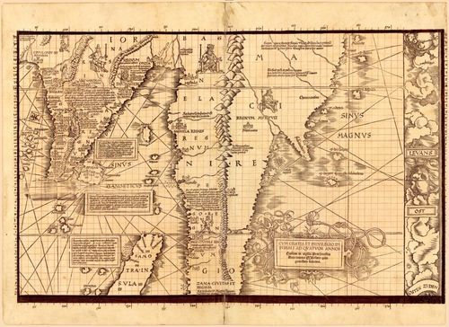
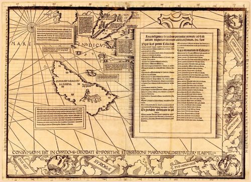
E511 - 1516 Carta Marina LOC Plate 03
5
E511 - 1516 Carta Marina LOC Plate 04
6
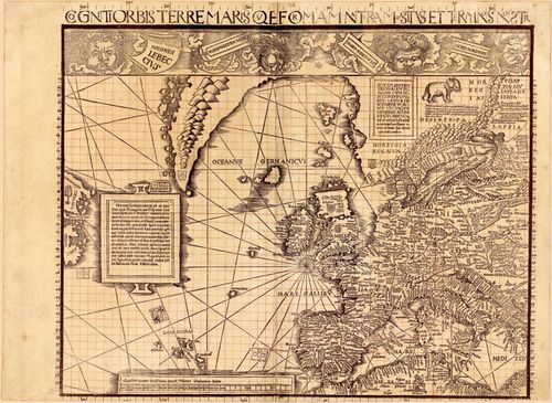
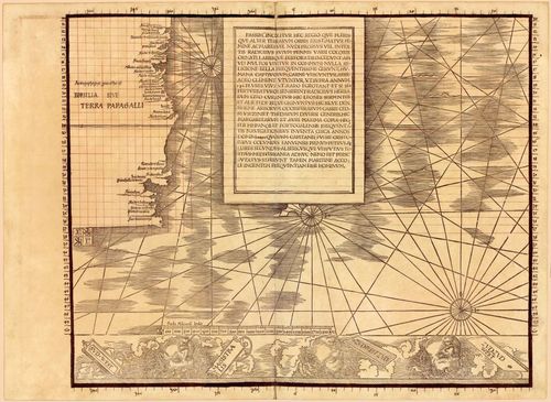
E511 - 1516 Carta Marina LOC Plate 05
7
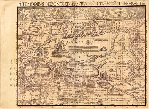
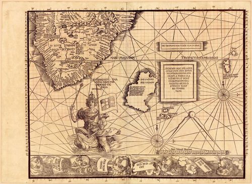
E511 - 1516 Carta Marina LOC Plate 06
8
E511 - 1516 Carta Marina LOC Plate 07
9
E511 - 1516 Carta Marina LOC Plate 08
10
E511 - 1516 Carta Marina LOC Plate 09
11
E511 - 1516 Carta Marina LOC Plate 10
12
E511 - 1516 Carta Marina LOC Plate 11
13
E511 - 1516 Carta Marina LOC Plate 12
14
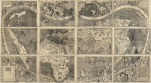
E511 - E49 - 1507 Waldseemueller LOC
15
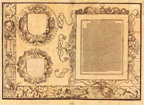
E511 - 1516 Carta Marina Plate Legend
16
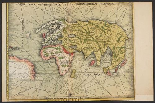
E511 - 1513 Waldseemuller The World Portolan Rosenwald LOC
17
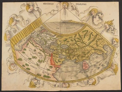
E511 - 1513 Waldseemuller The World Ptolemy Rosenwald LOC
18
![E511 - Caverio 1506 [ 2023-11-26 22:10:59 ]](https://iiif.pixeum.org/iiif/3/1734263618/full/500,/0/default.jpg)
E511 - Caverio 1506 [ 2023-11-26 22:10:59 ]
19
![E511 - Johannes Ruysch 1507 [ 2023-11-26 22:26:05 ]](https://iiif.pixeum.org/iiif/3/1734263413/full/500,/0/default.jpg)
E511 - Johannes Ruysch 1507 [ 2023-11-26 22:26:05 ]
Place a DOT on the image